


4 km | 8,9 km-effort

Gebruiker


Gratisgps-wandelapplicatie
 SityTrail
IGN / Geografische instituten
SityTrail World
De wereld gaat voor u open
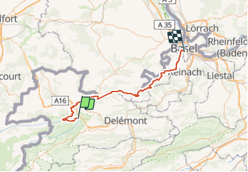
Tocht Fiets van 68 km beschikbaar op Jura, District de Porrentruy, Clos du Doubs. Deze tocht wordt voorgesteld door karawatsj.
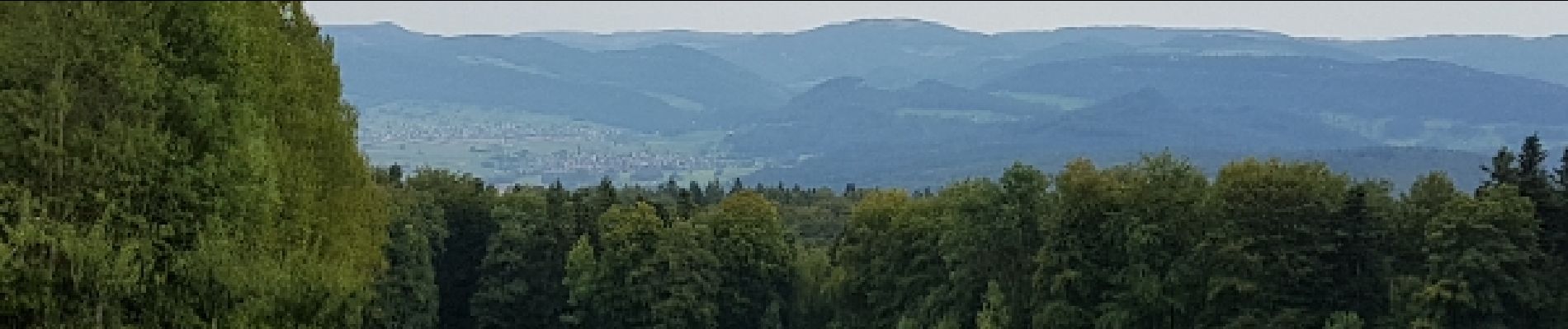
Gevarieerde tocht met 2 klimmetjes van 350m hoogte met buitengewone vergezichten door haast verlaten streken, landerijen en bossen. Gedeeltelijk in Frankrijk.
Gezellig fietsen doorheen de stad Basel langs veilige fietspaden tot aan het station.
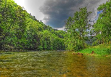
 - Photo 1")
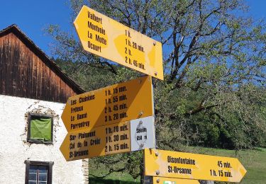
 - Photo 2")
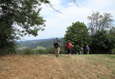
 - Photo 3")
 - Photo 4")
 - Photo 5")
 - Photo 6")
 - Photo 7")
 - Photo 8")
 - Photo 9")
 - Photo 10")
 - Photo 11")
 - Photo 12")
 - Photo 13")
Te voet
Te voet
Te voet
Te voet
Te voet
Te voet

Te voet
Stappen

Mountainbike